Geospatial Analysis: Map Shapes Using Spatial Files
Lesson Objectives
At the end of this lesson, you will be able to:
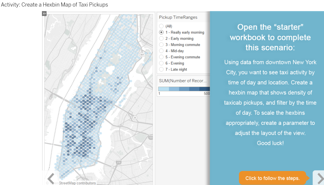
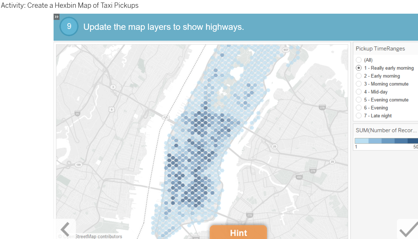
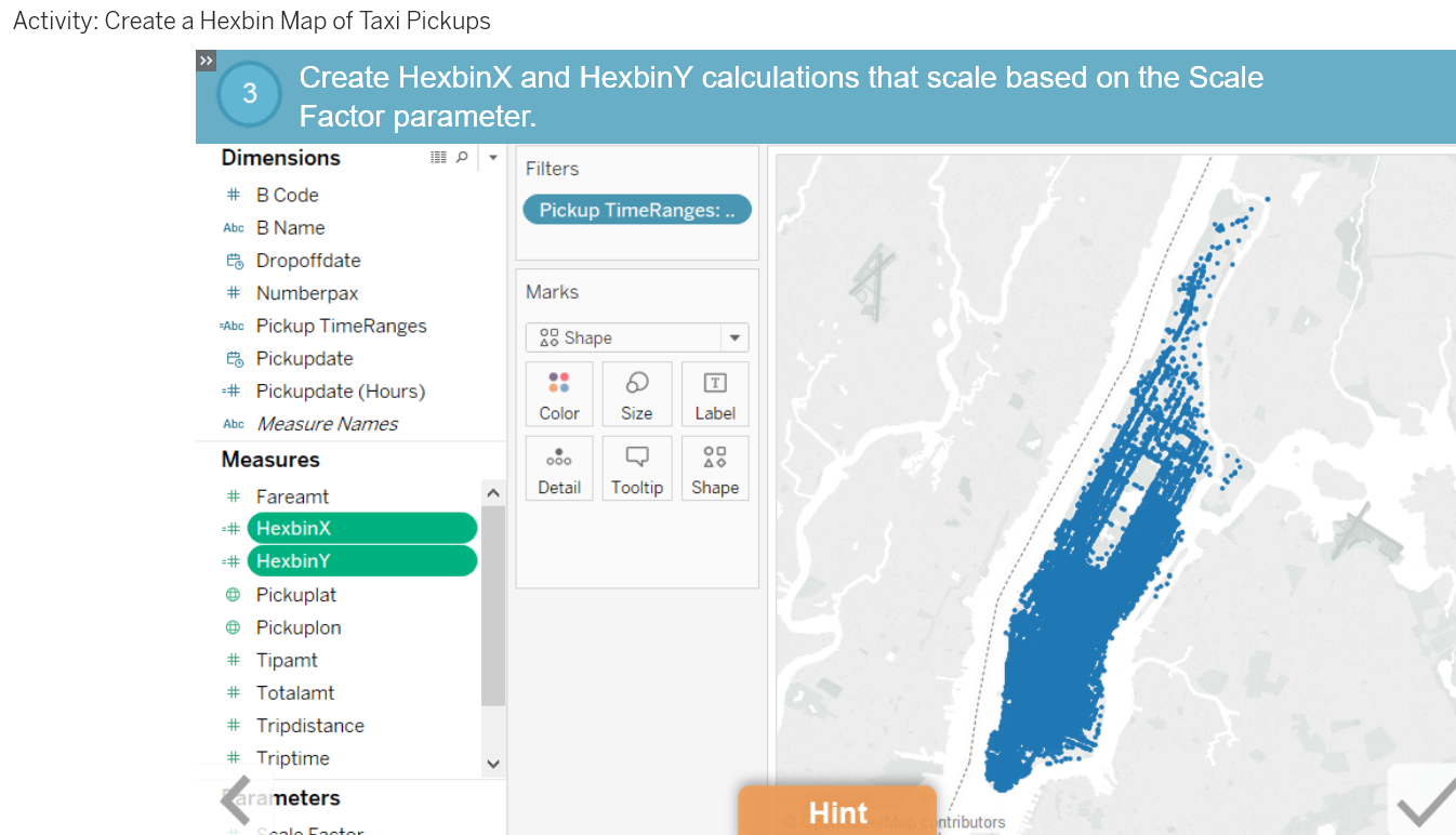
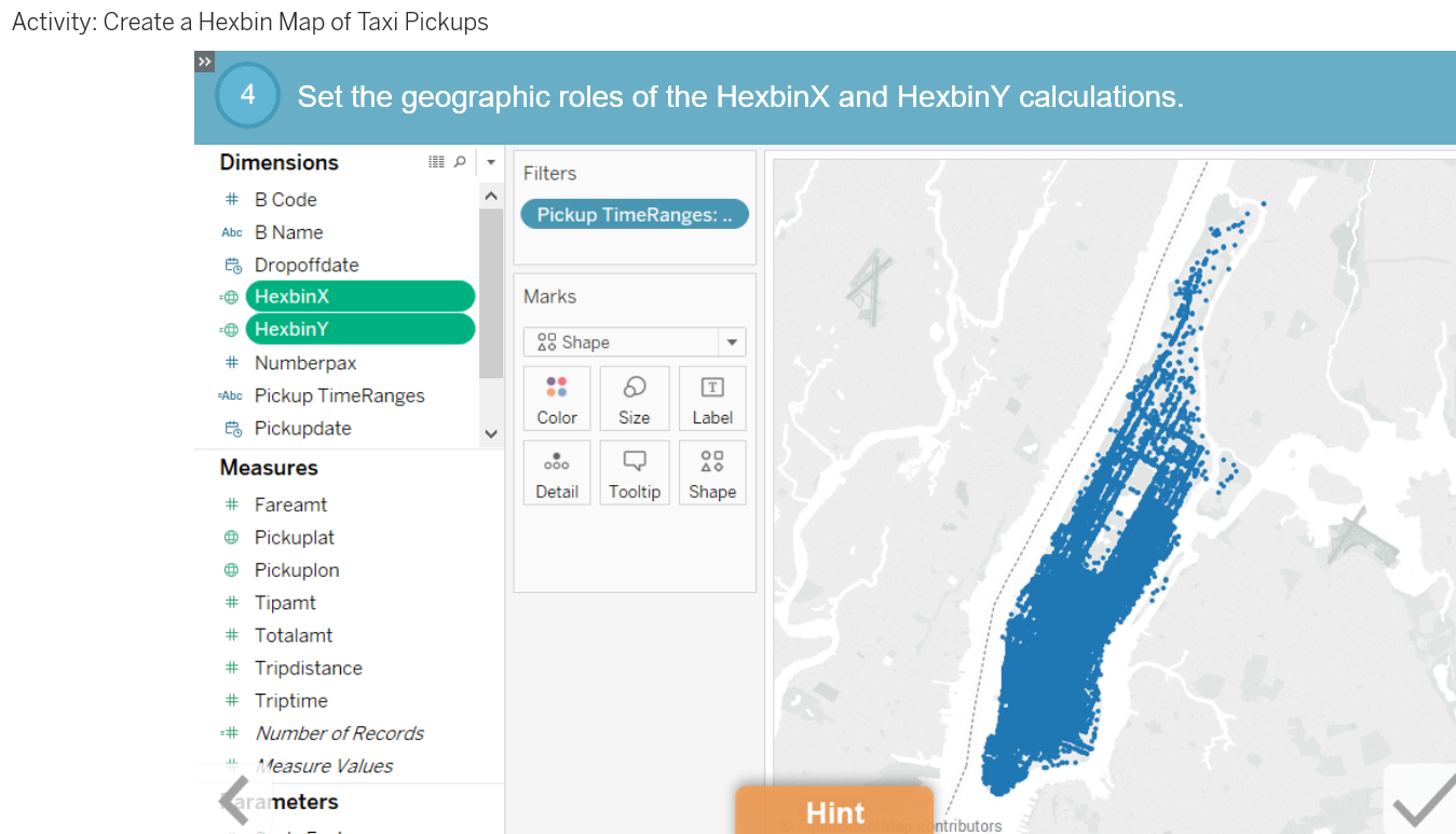
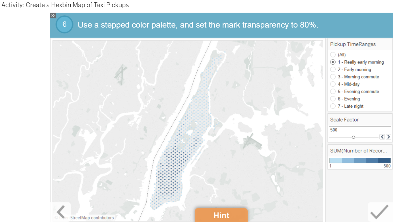
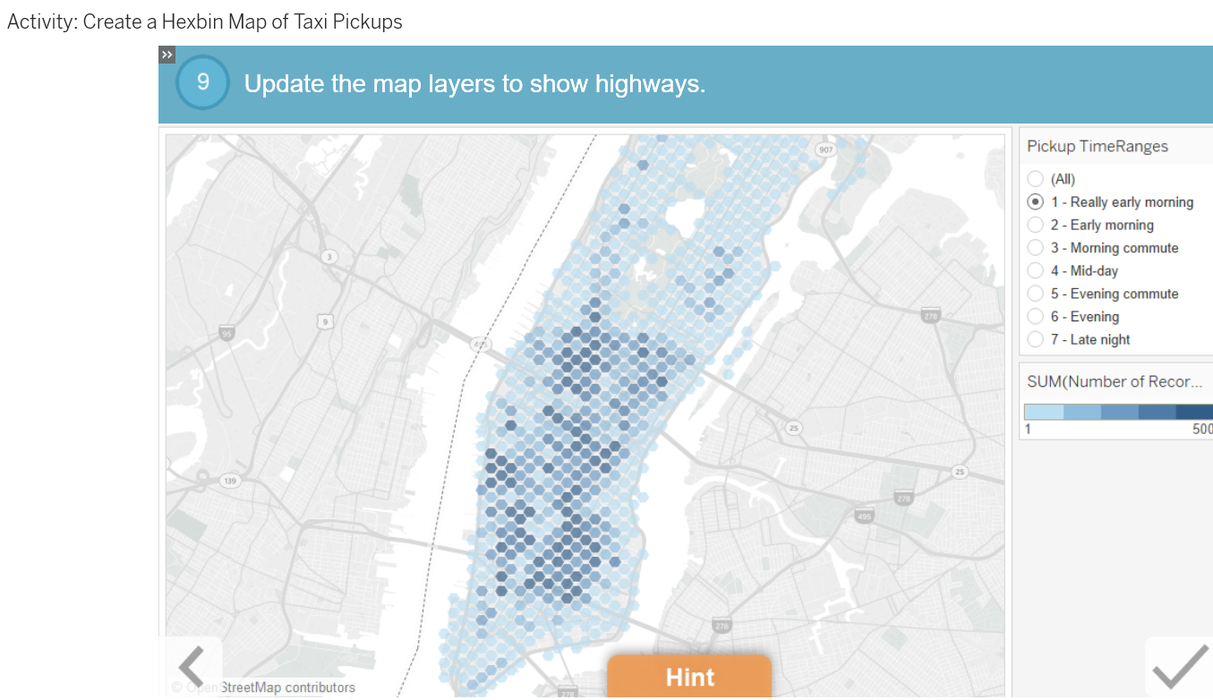
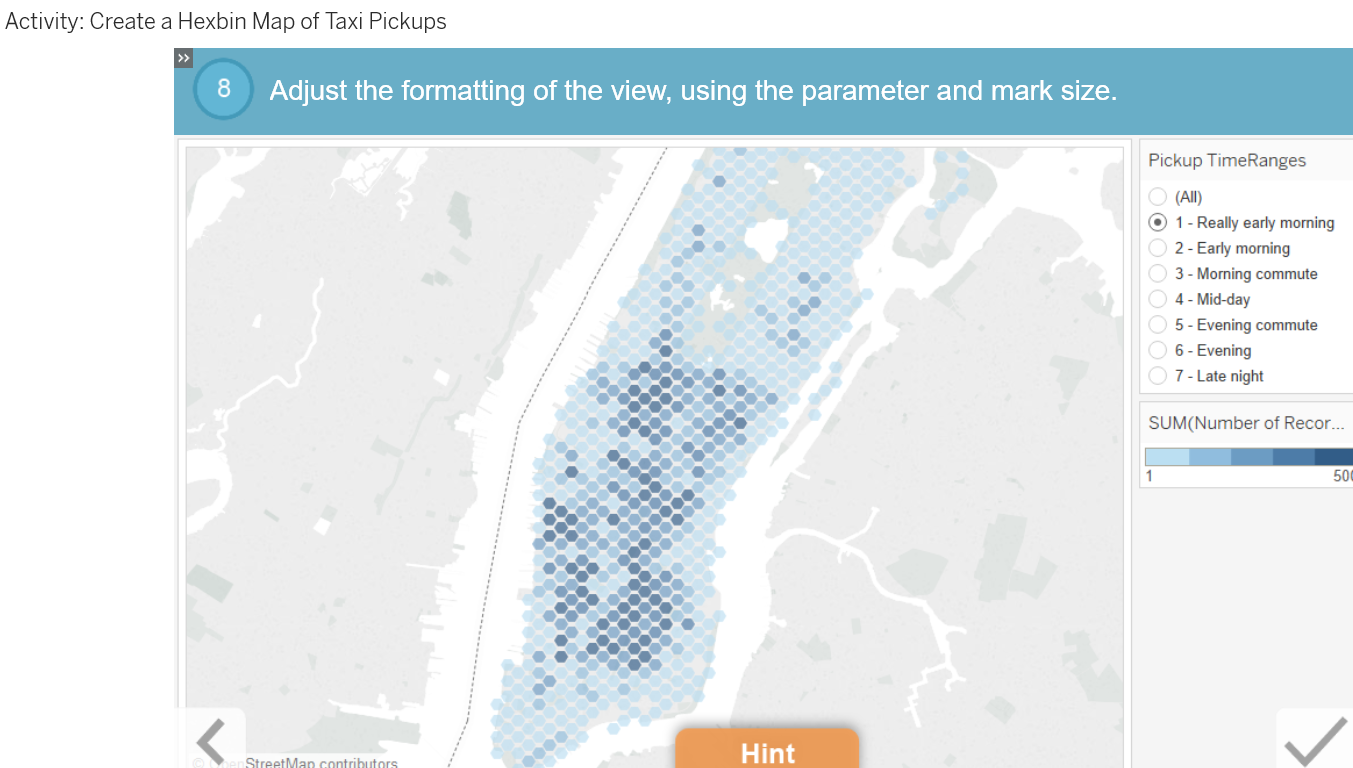
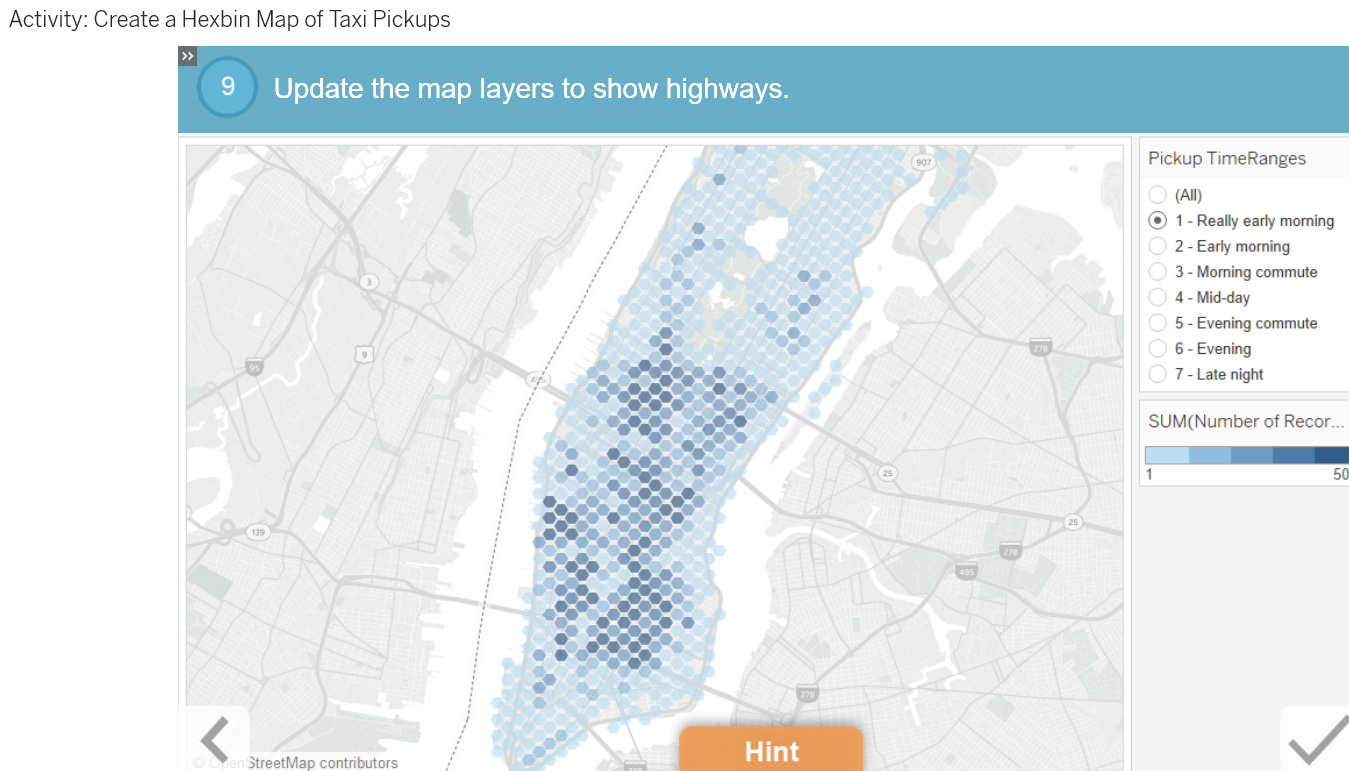
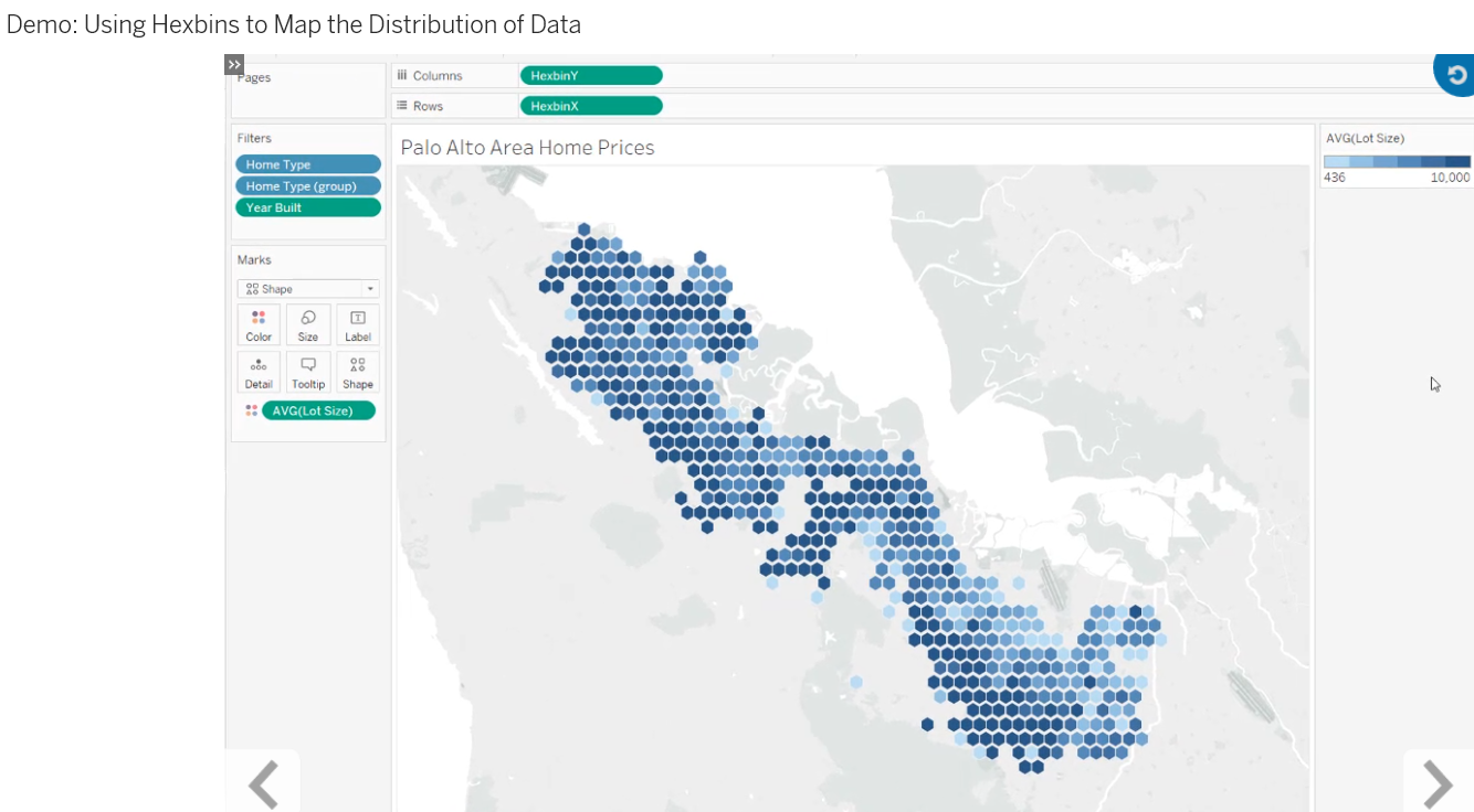
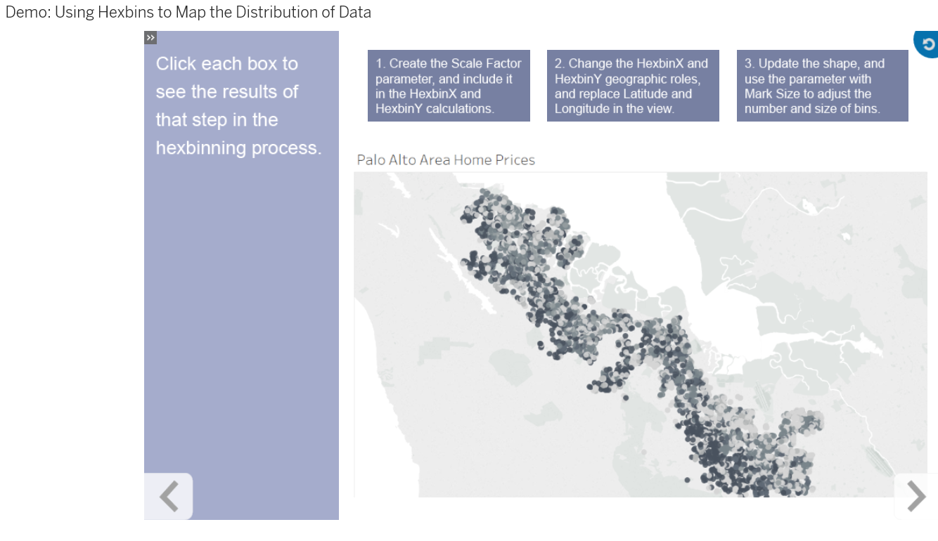
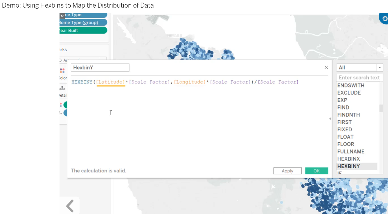
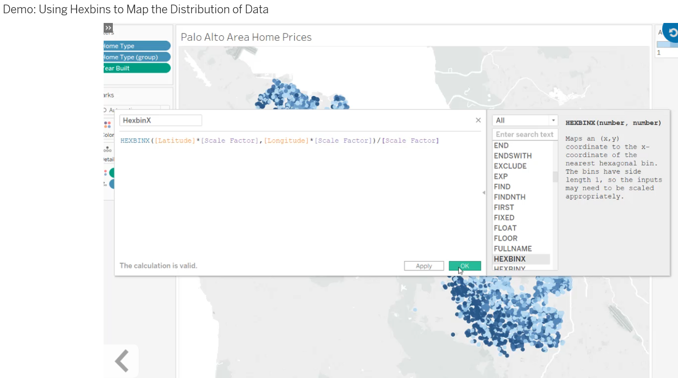
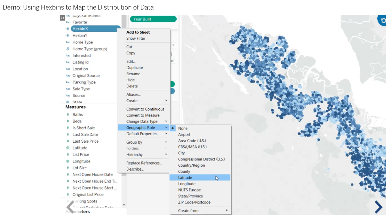
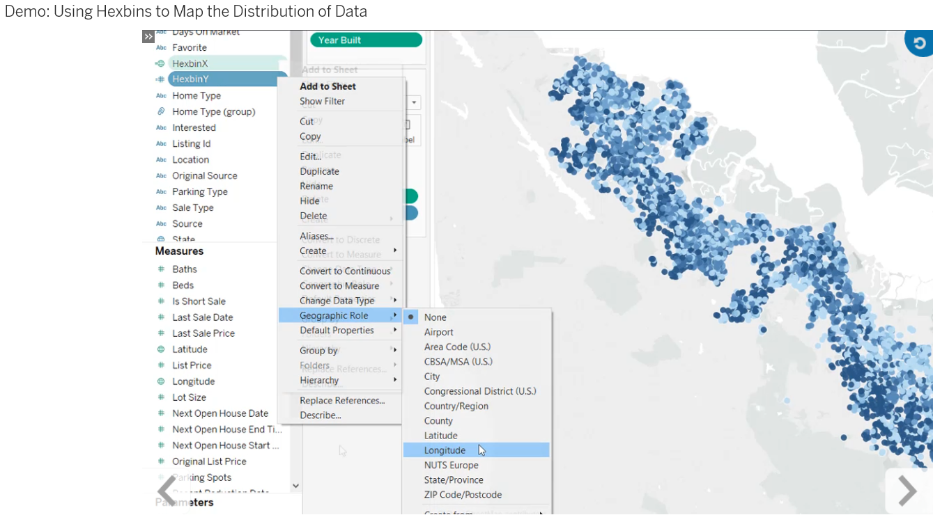
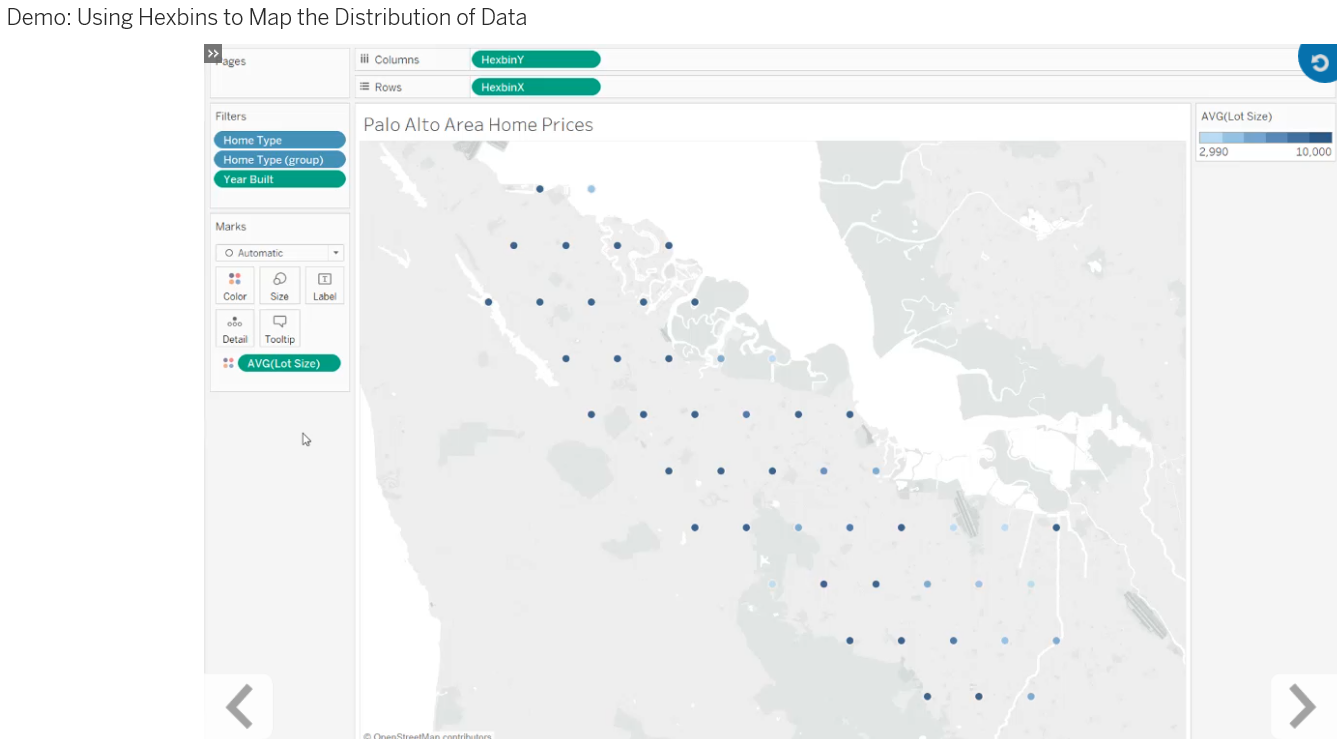
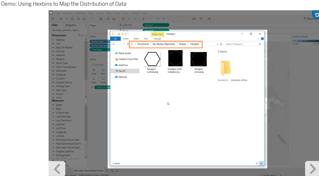
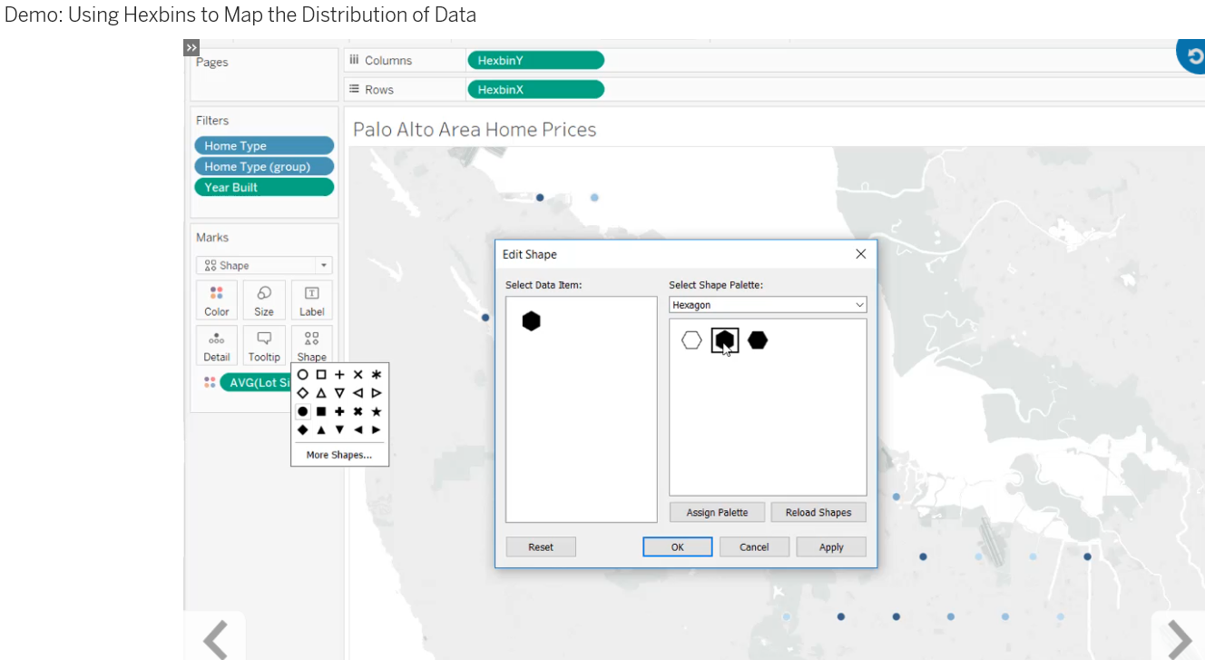
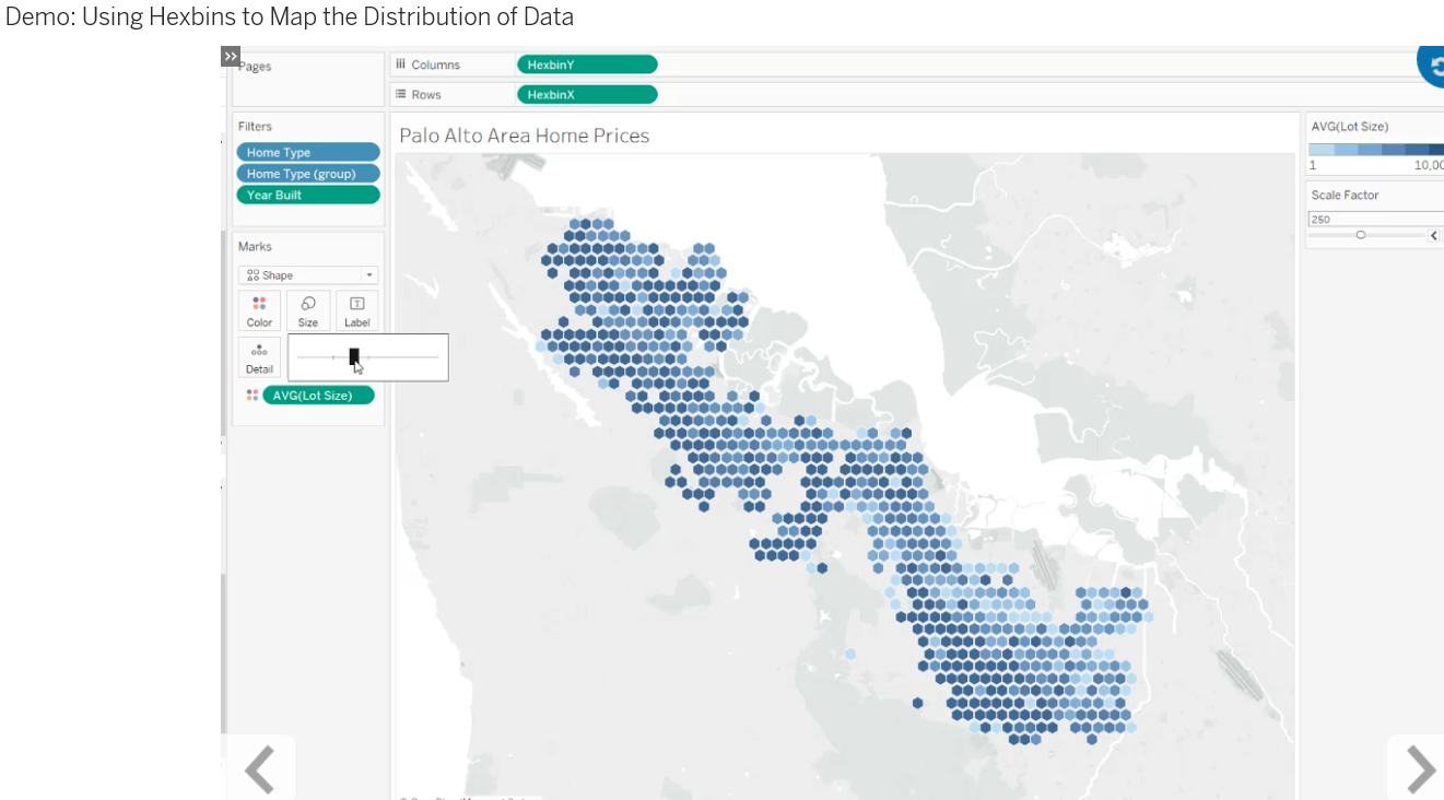
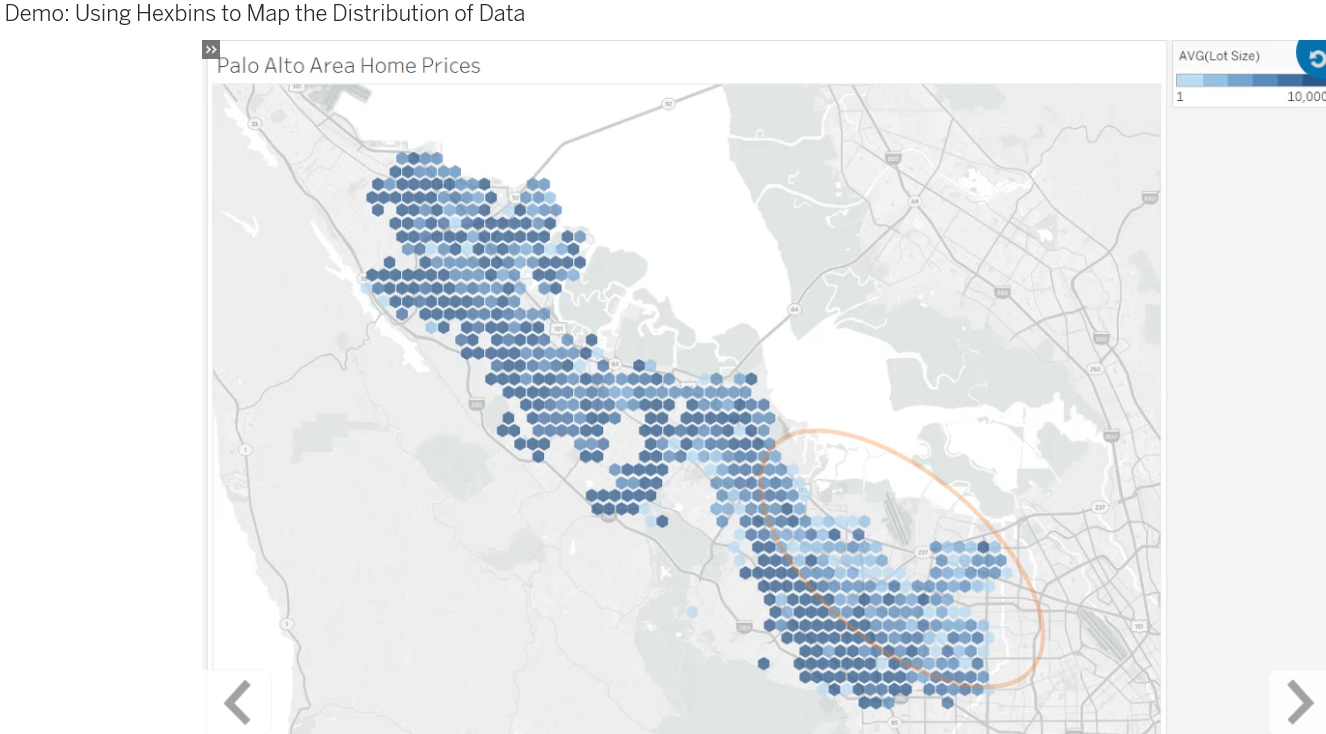
- Describe the procedure for creating hexbins.
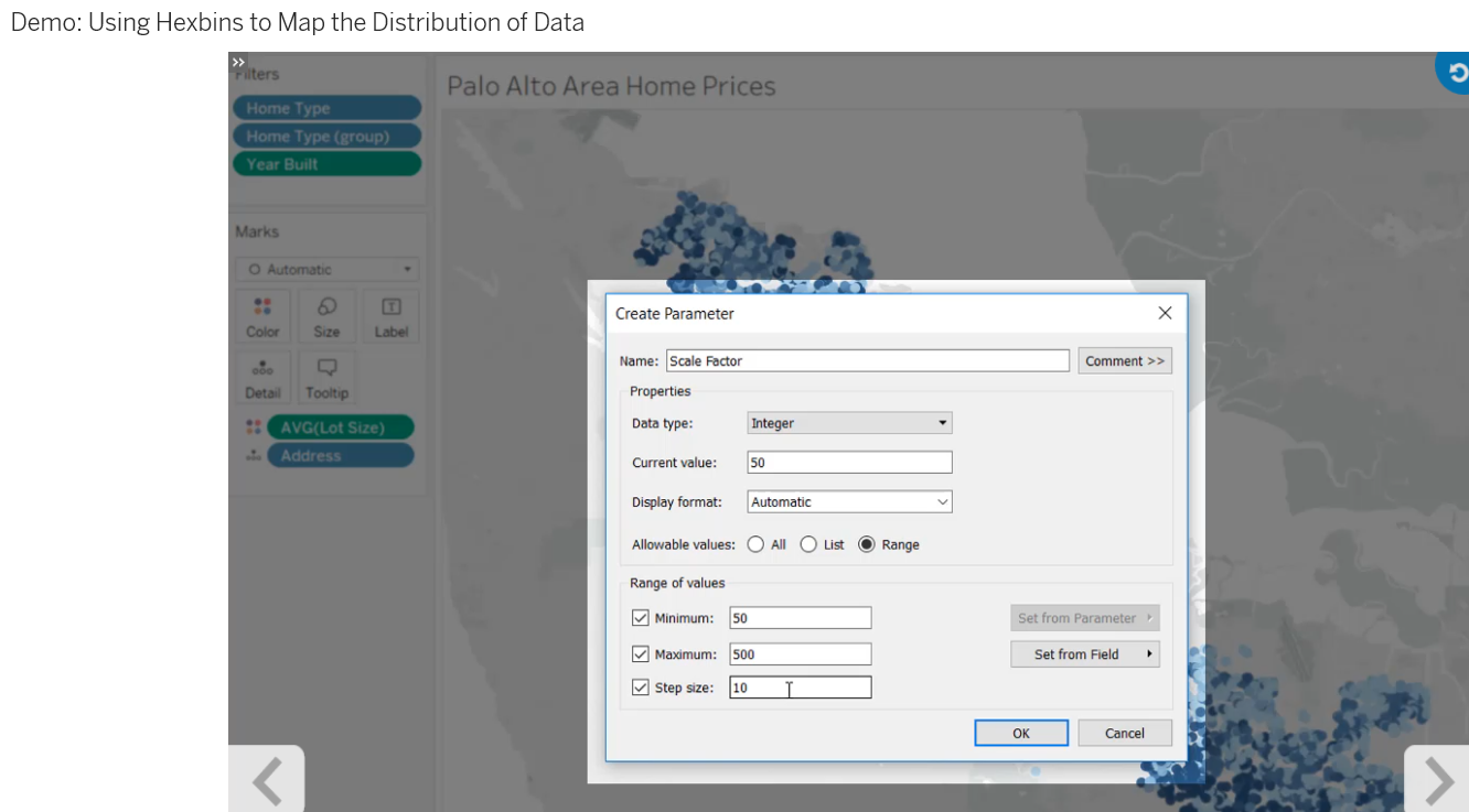
- Use a parameter to adjust the size of hexbins in a view.
- Describe how to calculate hexbins on a geographic map.
Use a spatial file to map types of geographic features that Tableau Desktop does not automatically recognize. The types of spatial files supported include point, polygon, and linestring geometries. Using the spatial-file connector, connect to spatial data to show discrete ground locations, from mountain peaks to railways stops; natural or designated areas such as lakes, farms, or census tracts; and linear features such as rivers, roads, and trails.
Discover how to work with a spatial file. Disaggregate the shape data and connect to additional data, using a cross-database join, to augment your geographic analysis.
Taxi
