Home
Data-Driven-Decision-Making

Hauptnavigation

  • Home
  • Why being data-driven?
  • Tableau Blueprint
  • Trainings
  • Data Visualization
  • More BI-Topics

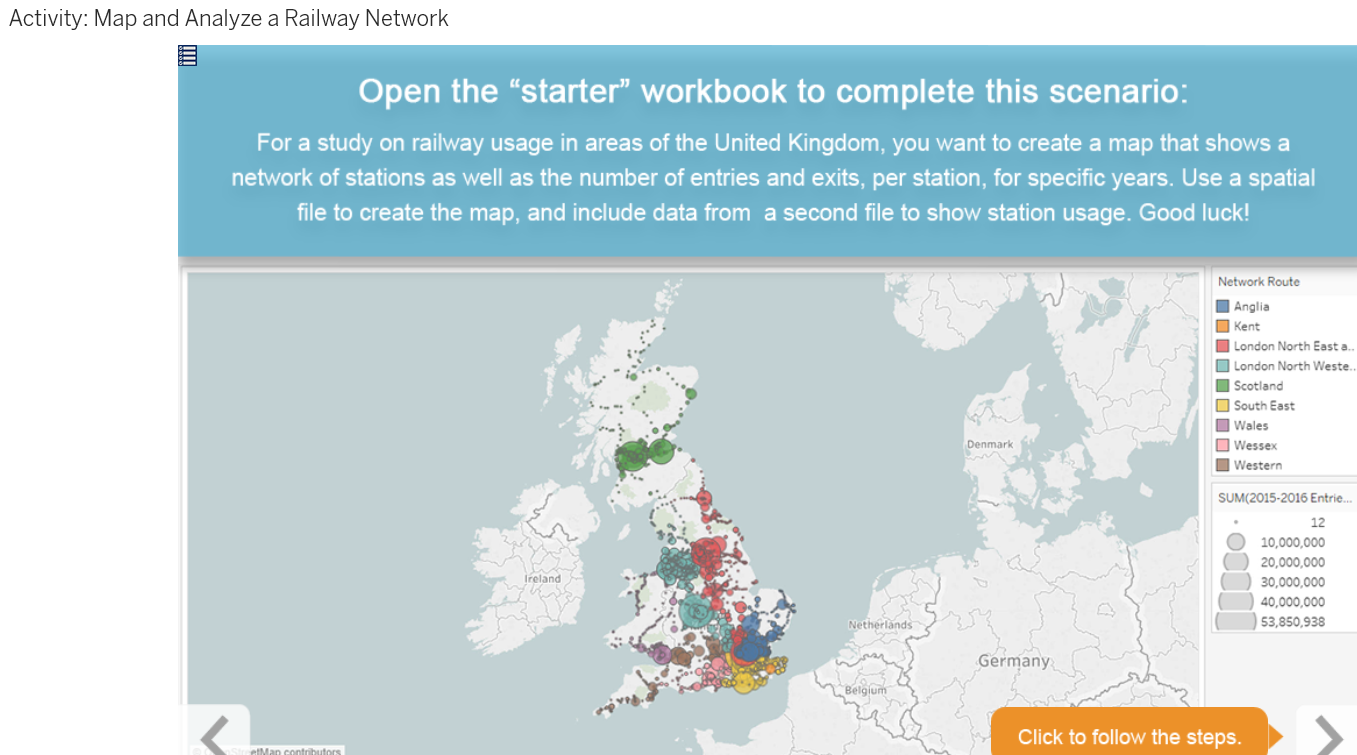
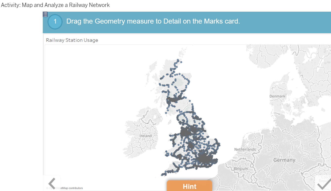
Geospatial Analysis: Map Shapes Using Spatial Files

Lesson Objectives

At the end of this lesson, you will be able to:

  • Describe what types of areas spatial files allow you to show on a map.
  • Describe the general process of working with a spatial file.

Points, Lines and Polygons

t

t

t

t

t

t

t

Book traversal links for Map Shapes Using Spatial Files

  • ‹ Geospatial Analysis: Map Shapes Using Spatial Files
  • Up
  • Dashboarding: Be Efficient with Views and Layout ›

Footer menu

  • Contact

Copyright 2024