Home
Data-Driven-Decision-Making

Hauptnavigation

  • Home
  • Why being data-driven?
  • Tableau Blueprint
  • Trainings
  • Data Visualization
  • More BI-Topics

Mapping Data Geographically

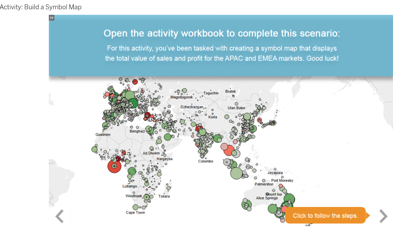
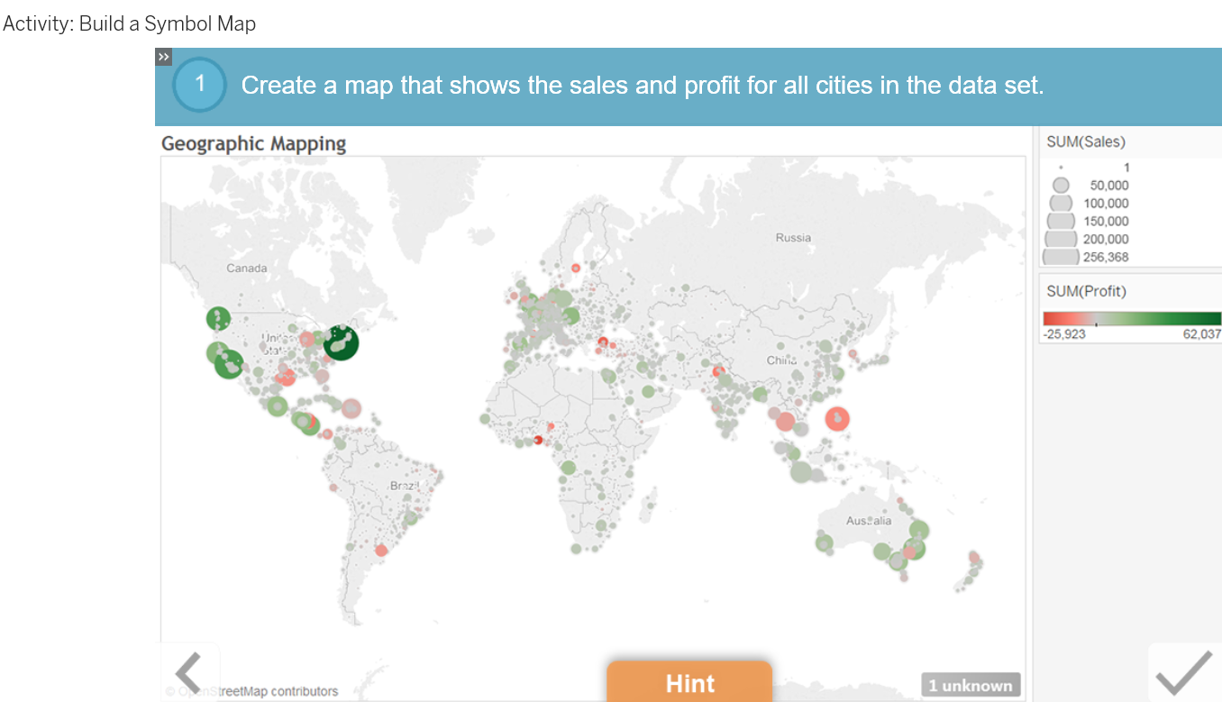
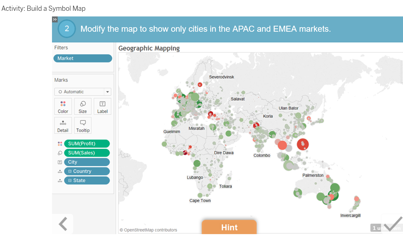
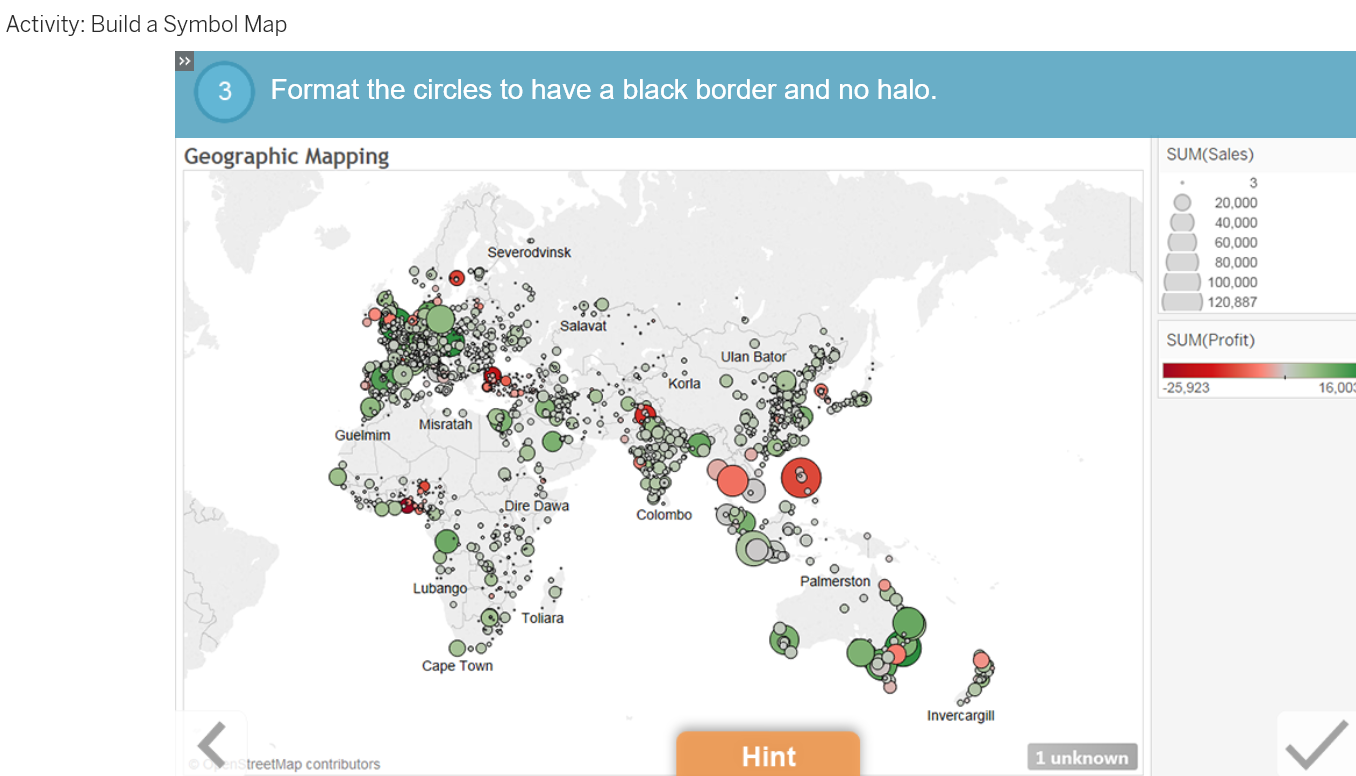
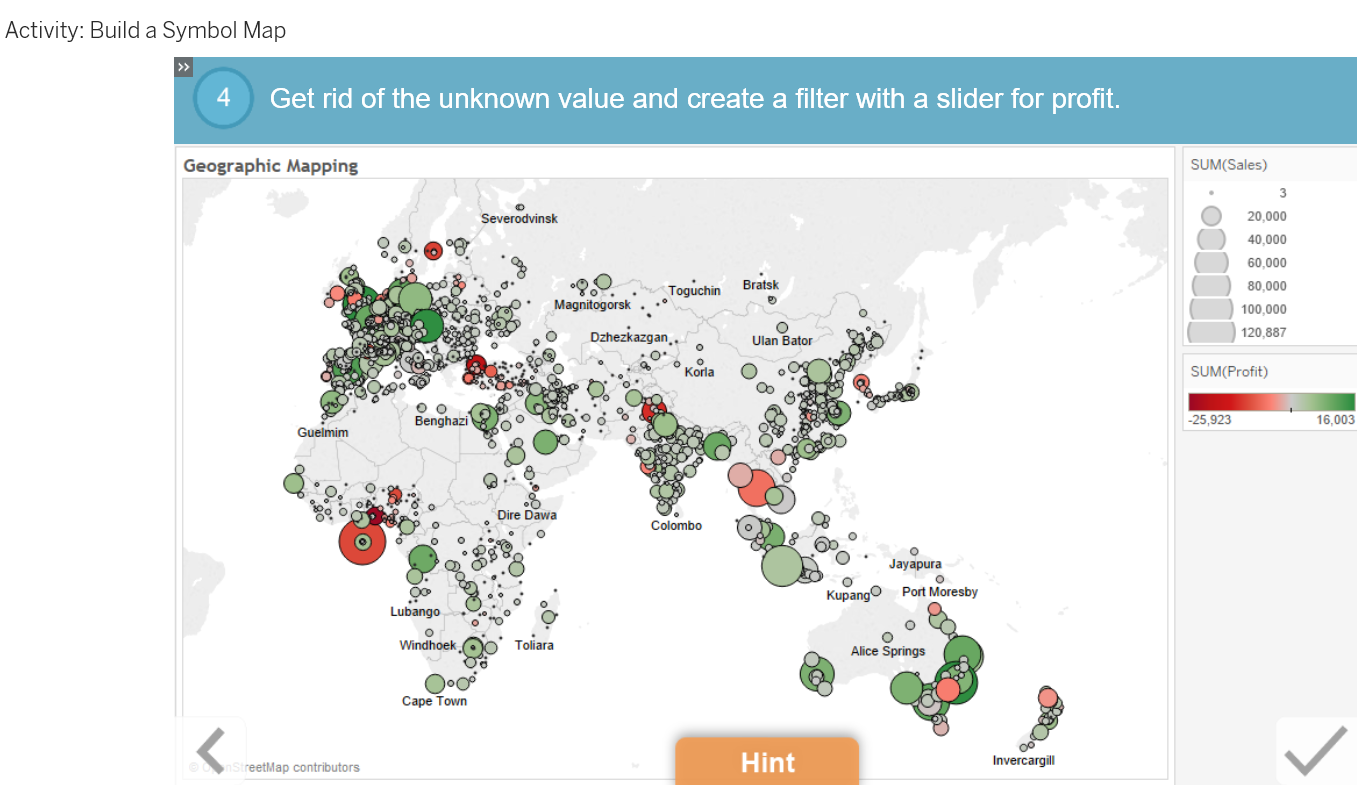
If you have geographic data, map it! Use Tableau's automatic geographic role detection to plot data across cities, states, and nations. Create a symbol map to plot data across regions.

Lesson Objectives

At the end of this lesson, you will be able to:

  • Create a symbol map.

t

t

t

t

t


Book traversal links for Mapping Data Geographically

  • ‹ Showing Relationships between Numerical Values
  • Up
  • Using Crosstabs: Totals and Aggregation ›

Footer menu

  • Contact

Copyright 2024