Advanced Mapping: Customizing Tableau’s Geocoding
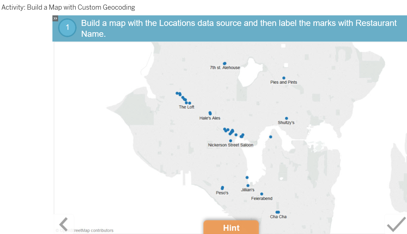
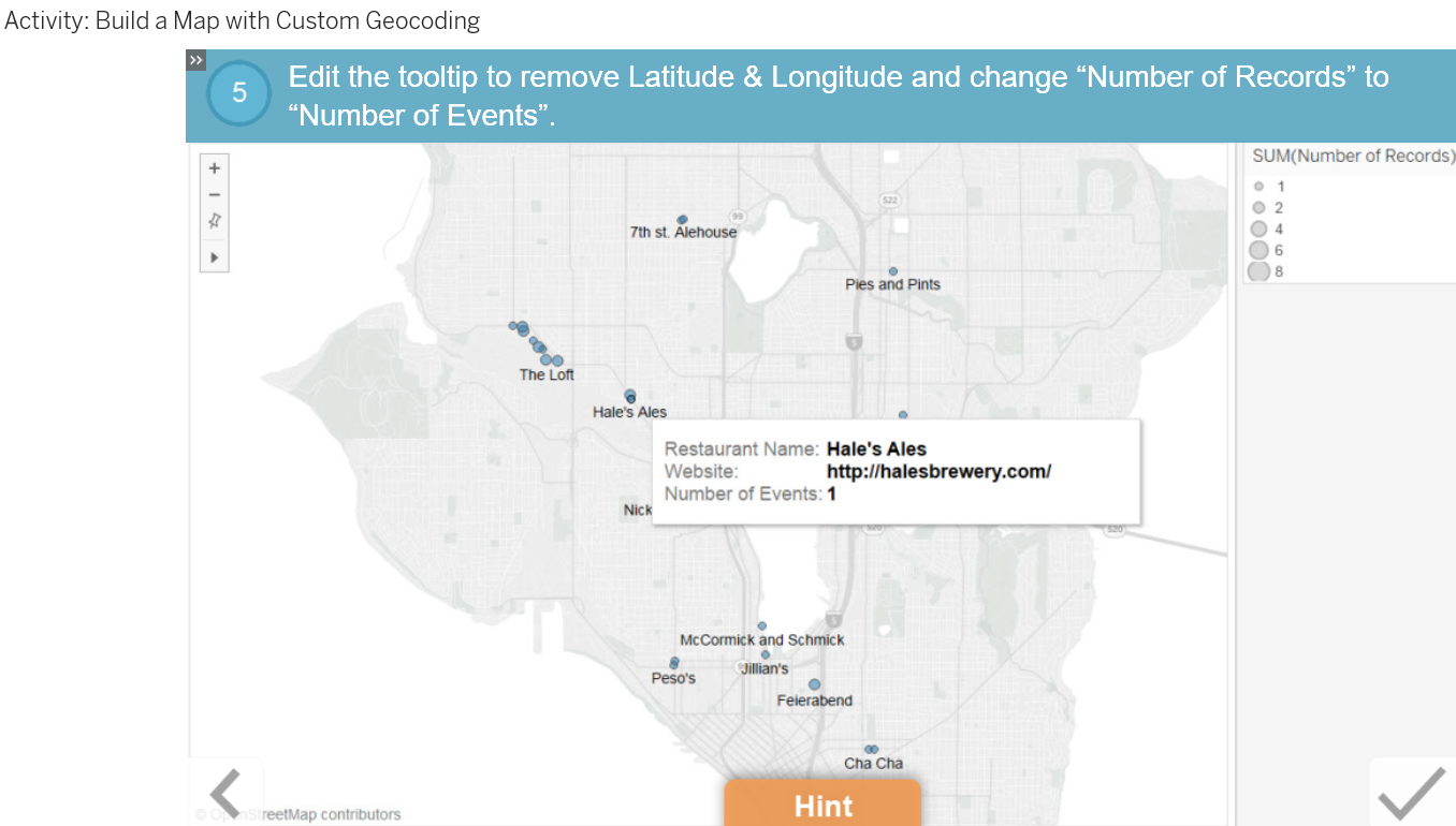
Mapping is a powerful tool in Tableau when your data is recognized as a geographic location. But what if your locations aren't being recognized? Use custom geocoding to map street addresses or other user-defined locations in a view. Bonus: Get tips on using batch geocoding to get latitude and longitude data.
Lesson Objectives
At the end of this lesson, you will be able to:
- Combine unrecognized geographic data, such as street addresses, with manually applied latitude and longitude data to show locations on a map.
- Describe a scenario in which blended data is used to help customize geographic data.


